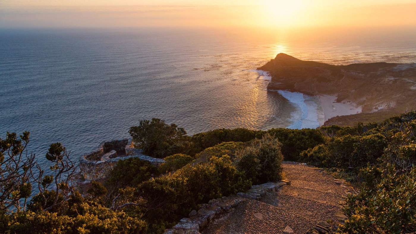
Almost everyone who comes to Cape Town is brought here and told two things: that this is the southern tip of Africa, and that this is where two oceans meet. Neither is quite true, and it doesn't matter in the least.
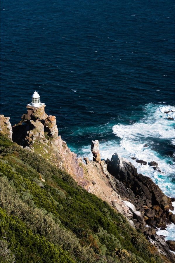
The southern tip is Cape Agulhas, some 150 kilometres to the east, and the oceans mingle somewhere along the coast in between, never in a neat line. What you find here is better than a fact on a postcard. The peninsula narrows to a spine of rock and fynbos, the cliffs drop more than two hundred metres into the sea, and the old lighthouse stands at the very top with the Atlantic on one side and False Bay on the other.
Bartolomeu Dias sailed round it in 1488 and called it the Cape of Storms. His king, who wanted the sea route to India, renamed it the Cape of Good Hope. On a windy day you will understand why Dias chose the first name. On a still one, you will see why the king preferred the second. Years ago I helped open the first flights carrying scientists from Cape Town down to the ice, and I still never stand here without thinking of what lies beyond the horizon.
John Sparks
Before you arrive
Two capes, one morning
Both lie in the Cape of Good Hope section of Table Mountain National Park, a wild reserve of fynbos, beaches and cliffs at the tip of the peninsula.
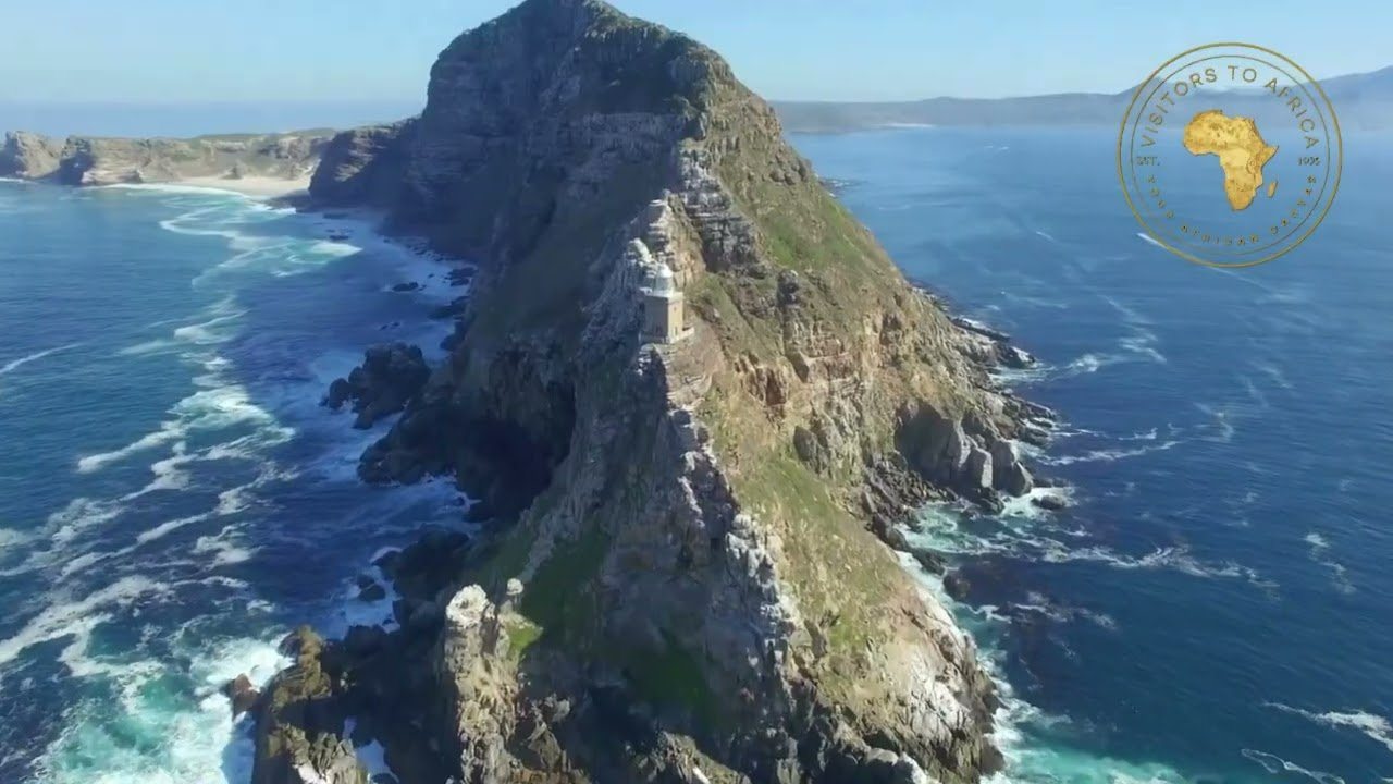
Cape Point
The lighthouse and the view
Up to the old lighthouse on foot, or on the Flying Dutchman funicular, named for the ghost ship sailors swore they saw off this coast. From the top you look down both sides of the peninsula at once.
The Cape of Good Hope
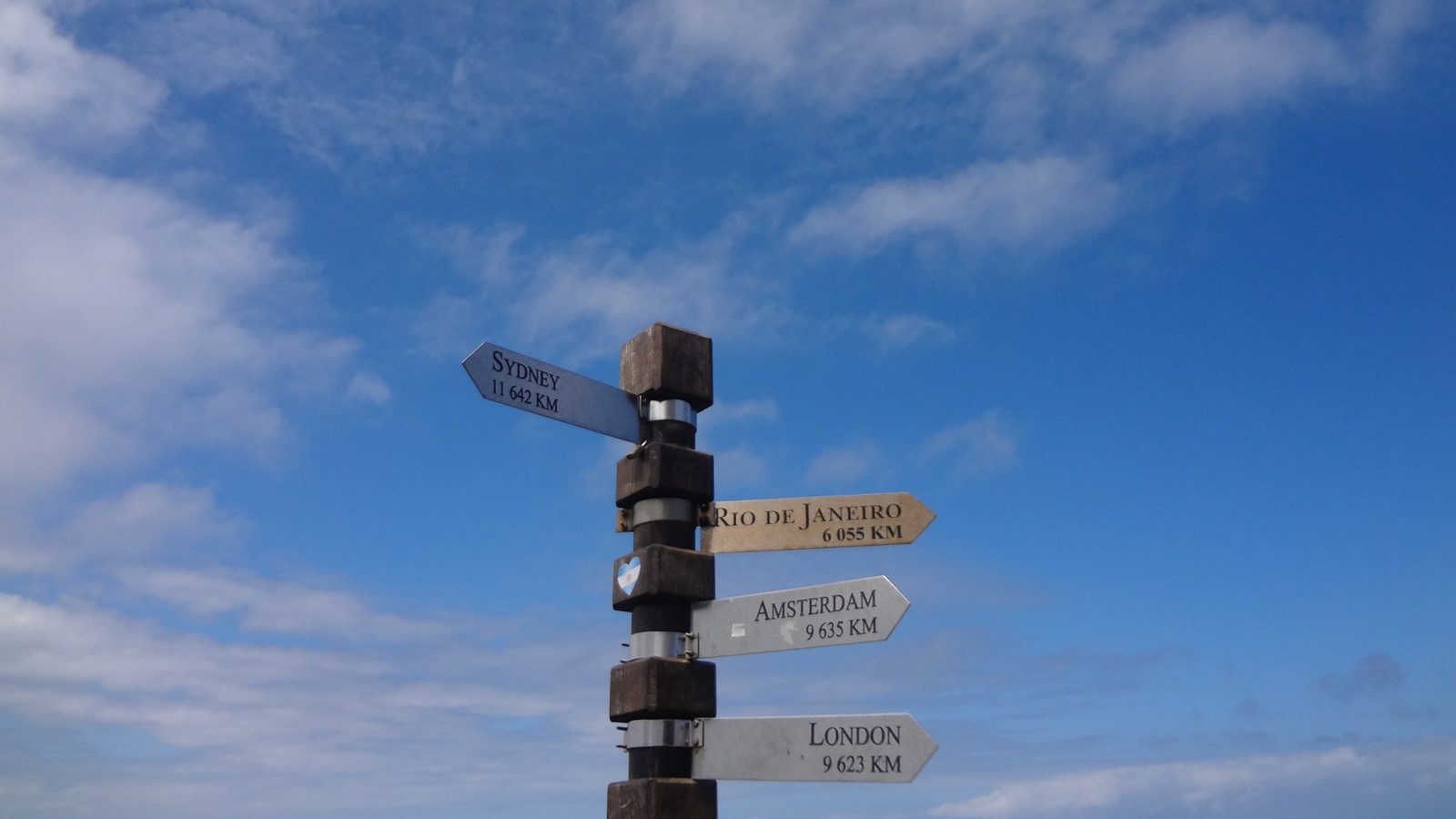
The famous sign
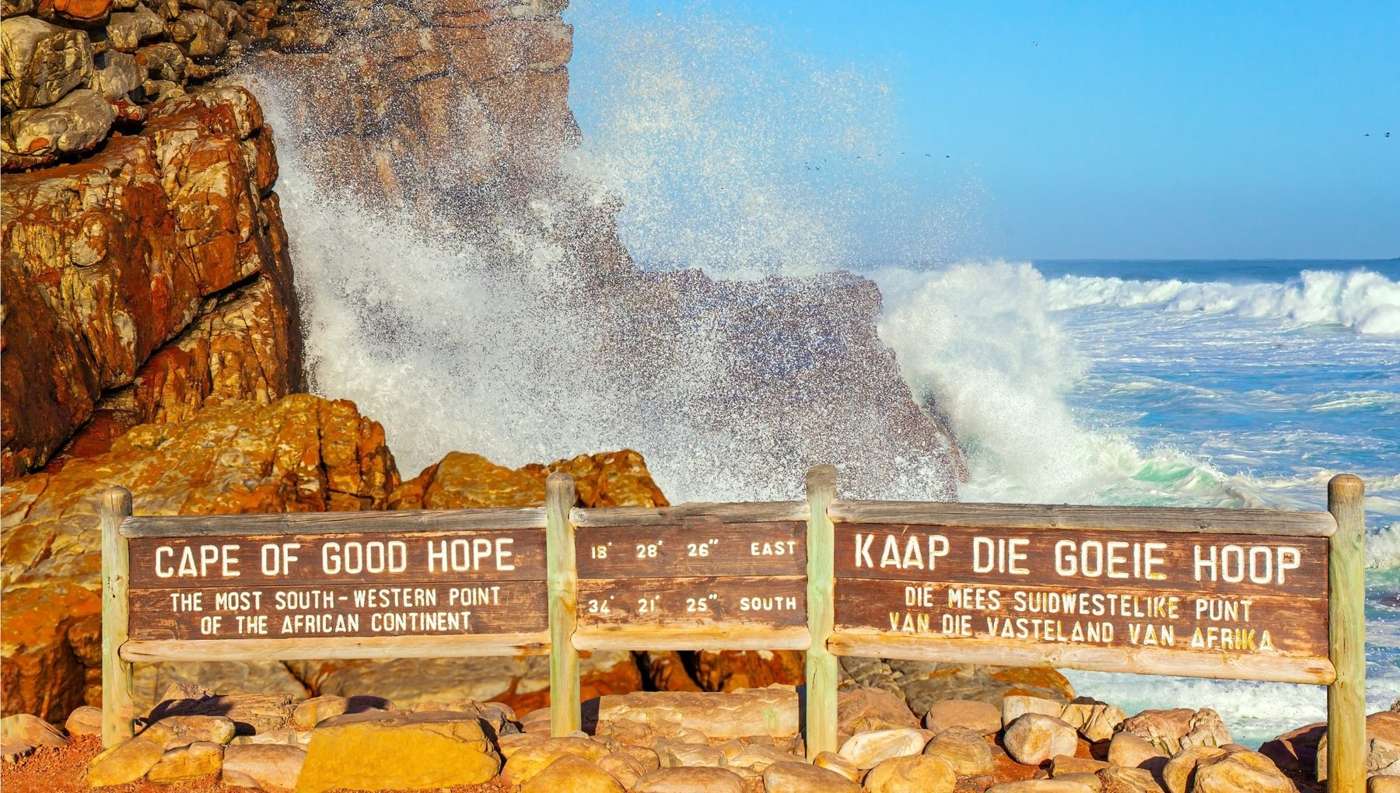
The most south-westerly point of Africa, a wild headland of rock and kelp with the wooden sign everyone wants a photograph beside. We go when it is quiet.
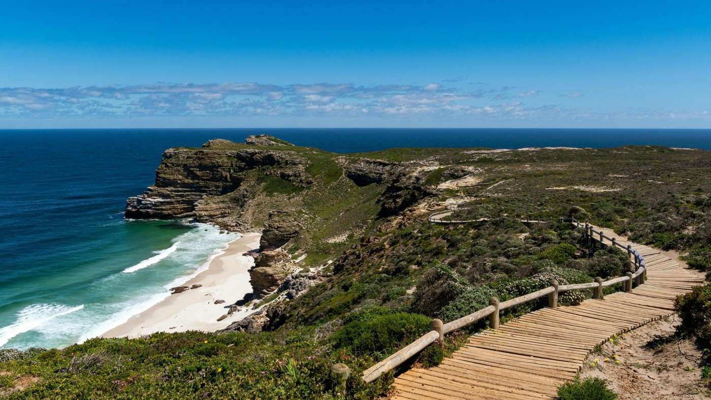
Dias Beach
Between the two
A white beach at the foot of the cliffs, reached by a long wooden stairway. Beautiful to walk on, but not for swimming: the currents here are strong.
The end of the Cape, in numbers
Cape of Storms
Bartolomeu Dias sailed round in 1488 and named it the Cape of Storms. King John II of Portugal renamed it the Cape of Good Hope, for the sea route it promised to India.
Not the southern tip
That honour belongs to Cape Agulhas, about 150 km to the east. The Cape of Good Hope is the most south-western point of Africa.
Where the oceans meet
Not here, and never in a neat line. The cold Benguela and warm Agulhas currents mingle somewhere along the coast between here and Agulhas, shifting with the seasons.
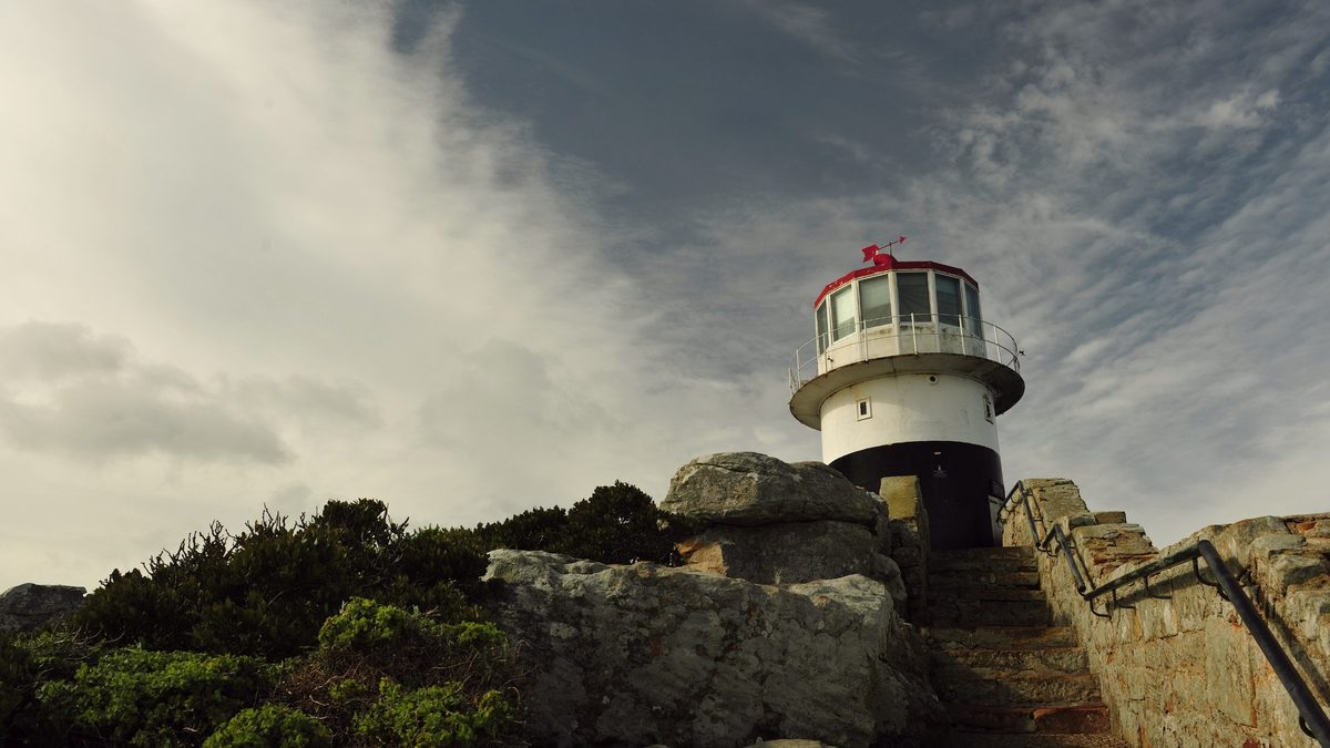
Two lighthouses
The old light, lit in 1860, stood so high it was often lost in cloud. After the liner Lusitania struck Bellows Rock in 1911, a new light was built lower down in 1919. It is the most powerful on the South African coast, seen up to 63 km out to sea.
A wild reserve
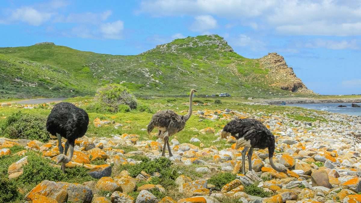
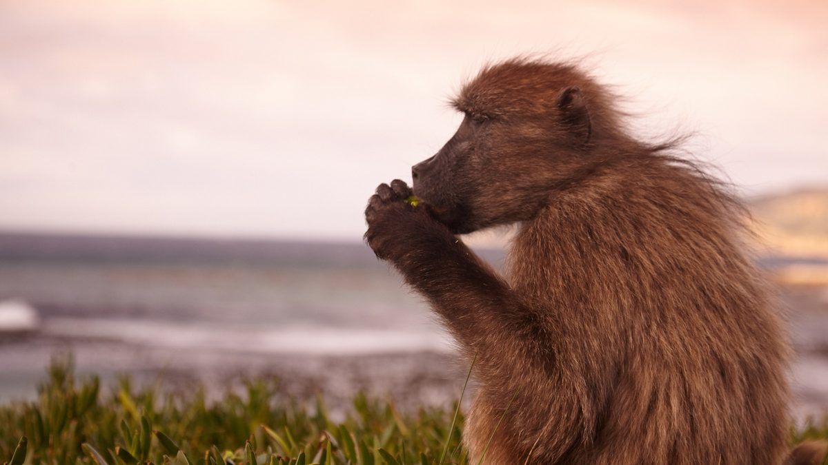
The Cape of Good Hope section of Table Mountain National Park: fynbos found nowhere else on earth, eland, bontebok, ostrich, dassies and the famous chacma baboons.
The Flying Dutchman
Sailors swore they saw a ghost ship off this point, doomed never to make port. The funicular up to the lighthouse is named after her.
More photographs, to keep
Thirty-five photographs of the lighthouses, the cliffs, the sign and the creatures of the reserve, with the films. View them large and download any you like.
Open the gallery ↗The day, the way I like it
Over Chapman's Peak
We leave early and take the cliff road along the Atlantic, through Noordhoek and Kommetjie, and into the park before the coaches arrive.
The lighthouse
The walk up, or the funicular for anyone who would rather ride, then time at the top with the whole of the end of Africa below you.
The Cape of Good Hope
Down to the headland for the sign and the rocks, with ostrich, eland or bontebok often grazing on the way.
Lunch by the sea
A long lunch overlooking False Bay, in the reserve or in one of the fishing villages along the coast.
Home by the penguins
Back along the False Bay side, stopping at Boulders for the African penguins, and through Simon's Town and Kalk Bay.
Or by helicopter
For those who want it, we fly out round Cape Point and back up the Atlantic coast instead. The view from the air is something else.
This is not where the two oceans meet. It is still one of the great ends of the earth.
Before you go
Where
At the southern end of the Cape Peninsula, in Table Mountain National Park, about an hour and a half from the city by the coast road.
Gate times
From six in the morning to six in the evening between October and March, and from seven to five between April and September.
The funicular
It is closed now and then for maintenance. When it is, the path up to the lighthouse is always open and we simply walk.
Baboons
Chacma baboons live in the reserve. Wonderful to watch, but keep food out of sight and car windows closed. We will remind you.
Bring a jacket
Even on a warm day the wind at the point can be fierce. There is a reason it was first called the Cape of Storms.
Pairs well with
Chapman's Peak, the penguins at Boulders, Kalk Bay, and a night at Tintswalo Atlantic.