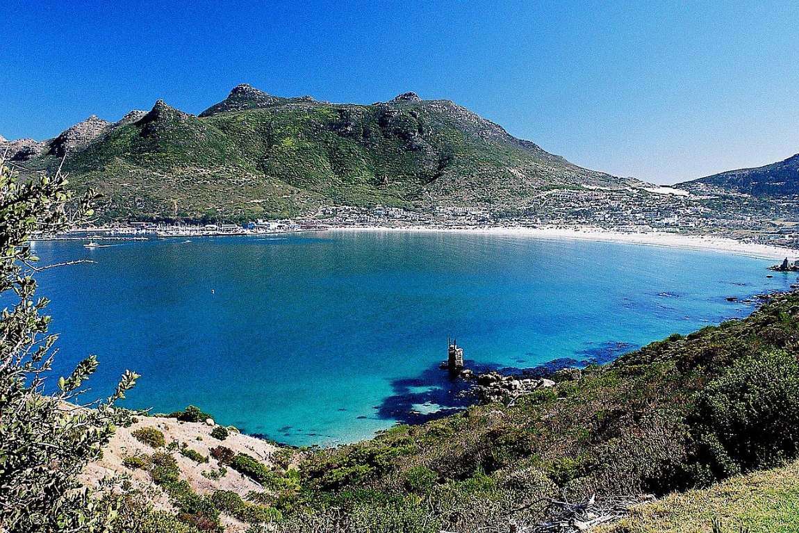
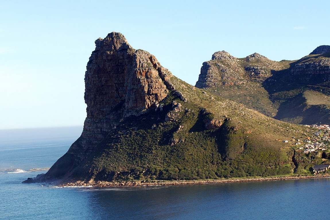
Drive over the hill from Camps Bay or round the cliffs from Chapman’s Peak, and Hout Bay opens up beneath you: a wide curve of white sand, a deep green valley, and the great rock of the Sentinel standing guard at the mouth of the bay.
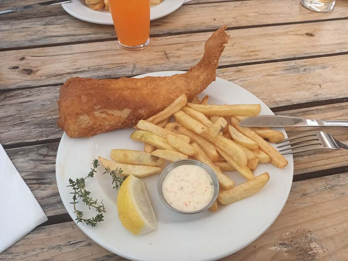
It is only twenty minutes from the city, yet it still feels like a village of its own. Boats come and go from a real working harbour, the fishermen still land their snoek and tuna on the quay, and the smell of fish and chips drifts across the water at lunchtime. Out beyond the Sentinel, thousands of Cape fur seals crowd the rocks of Duiker Island.
Hout Bay is the kind of place I love to show guests in an unhurried way. A boat out to the seals, a stroll along the harbour, lunch with your feet almost in the water, and then the drive over Chapman’s Peak in the late afternoon light. It is the Cape at its most relaxed.
John Sparks
Timber, fish and forts
The first sailors to write about the bay were English. In 1607 a ship’s boat came ashore here looking for safe anchorage, and for a while the place was known as Chapman’s Chaunce, after one of the crew. The name lives on in Chapman’s Peak, the mountain on the southern side of the bay.
When the Dutch arrived at the Cape in 1652, they needed timber for their new settlement, and the thick forest in this valley was the answer. Van Riebeeck called it Houtbaai, Wood Bay, and the trees were felled and carted over the mountain to Cape Town. Farms followed: Kronendal, one of the oldest in the valley, dates from 1681.
In 1781, with Britain and the Netherlands at war, French troops came to help defend the Cape and built batteries on both sides of the bay. You can still find the old East Fort on the slopes of Chapman’s Peak, its cannon looking out over the water. Then, in 1867, Jacob Trautmann started a fishing settlement on the shore, and Hout Bay became what it has been ever since: a fishing village.
A village with a character of its own
A working harbour
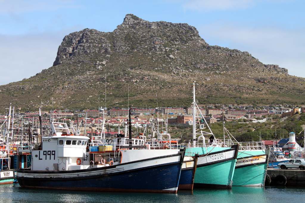
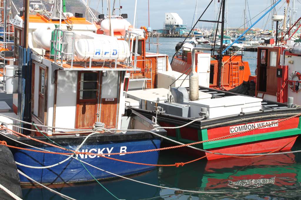
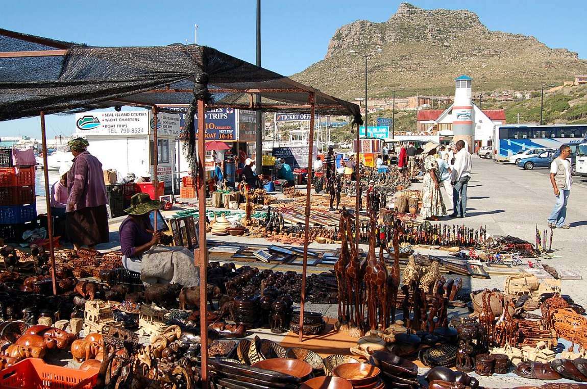
Hout Bay is still one of the busiest fishing harbours on the Cape Peninsula. Snoek, tuna and crayfish come in here, and the fish on your plate at lunch may well have been landed that morning.
Duiker Island
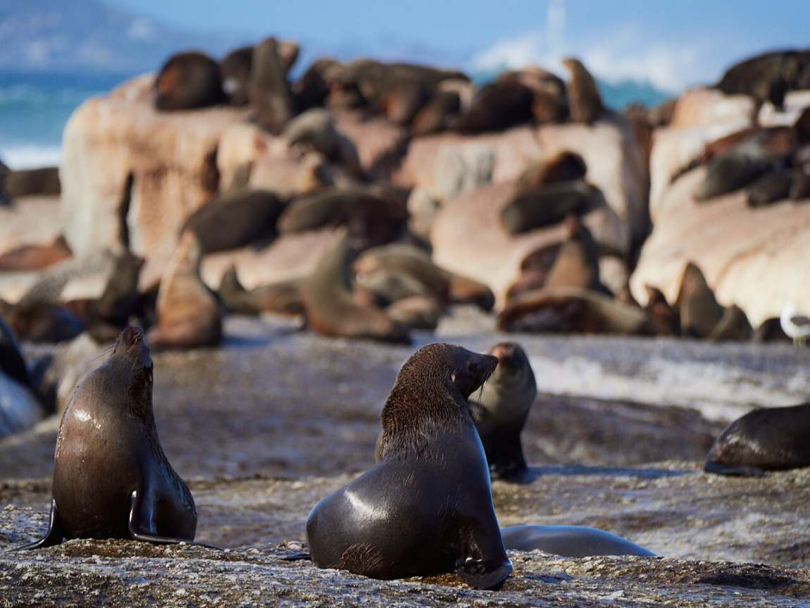
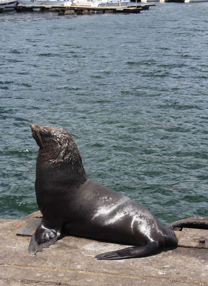
Just off the Sentinel lies a low granite island that is home to thousands of Cape fur seals. Boats leave the harbour for it every day, and on calm days you can even snorkel with the seals.
The leopard on the rock
Look up as you come round the bay and you will see a bronze leopard on a rock above the water. Ivan Mitford-Barberton sculpted him, and he was put in place in 1963 in memory of the leopards that once roamed these mountains. The last one on the Peninsula was seen in 1937.
The Republic of Hout Bay
In the 1980s and 90s, the village jokingly declared itself an independent republic, complete with its own passports for visitors. It tells you a lot about how locals feel about their valley.
A day in Hout Bay, the way I like it
Out to the seals
We start at the harbour with a boat trip around the Sentinel to Duiker Island, where the seals lie piled on the rocks. If the water is calm and you are feeling brave, you can slip in and snorkel with them.
The harbour
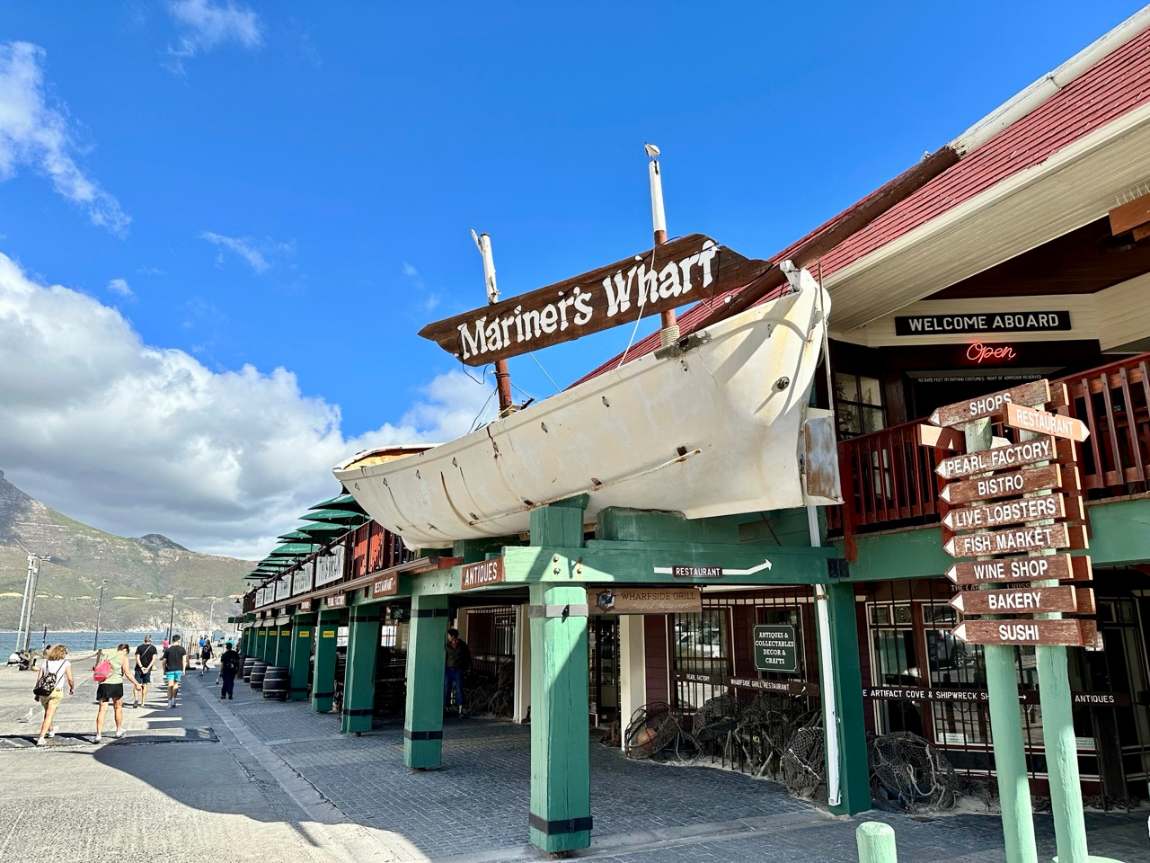
Back on land, a slow wander along the quay among the fishing boats, past Mariner’s Wharf, which has stood on the harbour front since 1984.
Lunch by the water
Fresh fish, simply cooked, at a table looking out over the boats. On weekends, the Bay Harbour Market in an old fish factory is full of food, music and local makers.
The beach
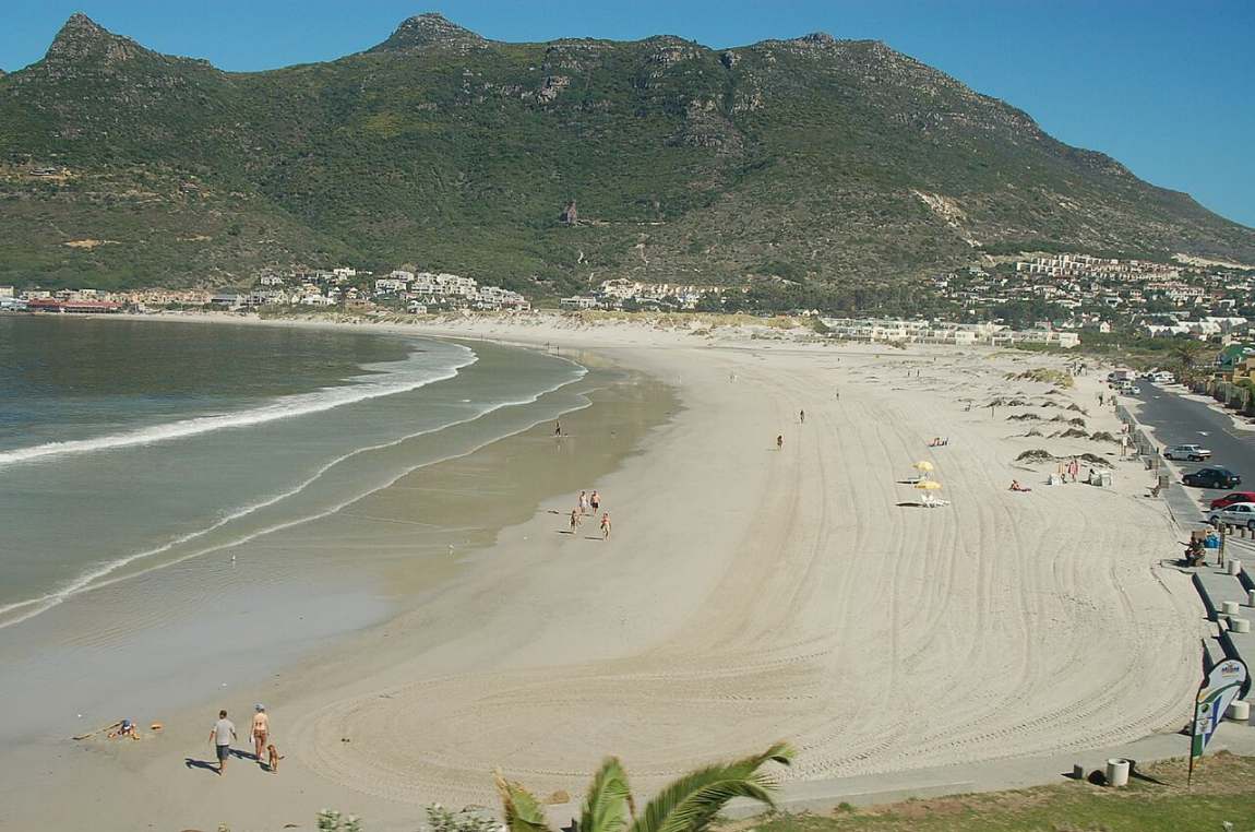
A walk along the long white beach, with the mountains all around and the Sentinel at the far end.
Over Chapman’s Peak
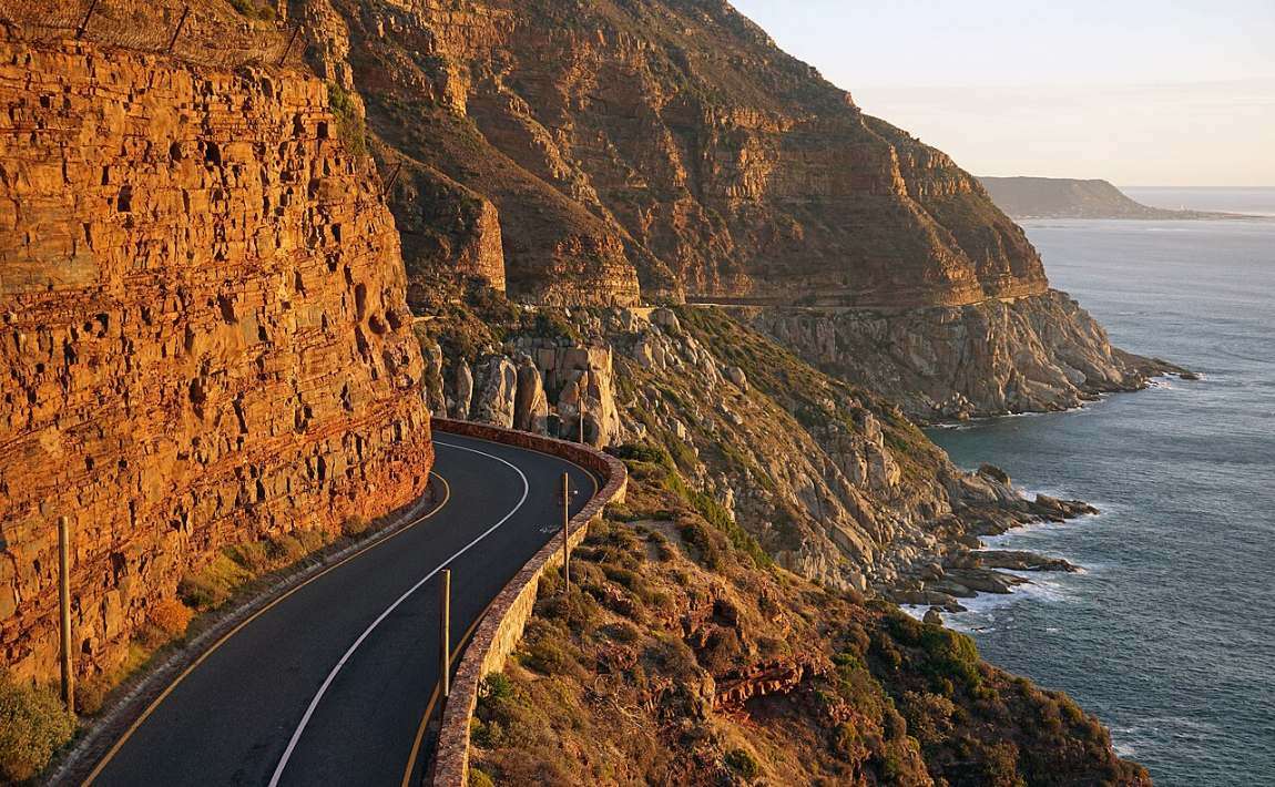
In the late afternoon we take Chapman’s Peak Drive, first opened in 1922, with its 114 bends cut into the cliffs, and stop to look back at the bay in the golden light.
Hout Bay on film
Photographs to keep
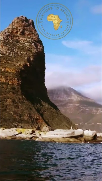
Thirty photographs of Hout Bay, the Sentinel, the harbour, the seals and the beach, to look at large and download.
Open the gallery ↗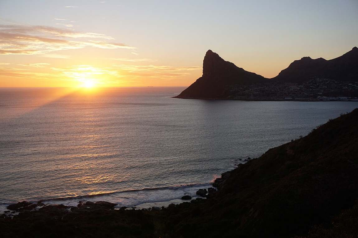
Twenty minutes from the city, and you are in a fishing village with its own valley, its own seals and its own sense of humour.
Before you go
Where
On the Atlantic side of the Cape Peninsula, about twenty minutes’ drive from the centre of Cape Town, between Camps Bay and Noordhoek.
When
All year round. The seal trips run daily, weather permitting. Summer brings long, bright days; in winter the bay is quieter and the light is soft.
The weather
When the south-easter blows, the boats sometimes stay in the harbour. We keep an eye on the wind and plan the day around it.
Bring
A windproof layer for the boat, a hat, sunscreen, and a swimming costume if you plan to snorkel. The Atlantic here is cold, so wetsuits are provided.
Getting there
We drive you there and back, so there is no parking to worry about, and we time the drive over Chapman’s Peak for the best light.
Pairs well with
Snorkelling with the seals, the drive along Chapman’s Peak, and a night at Tintswalo Atlantic, right on the water just round the corner.